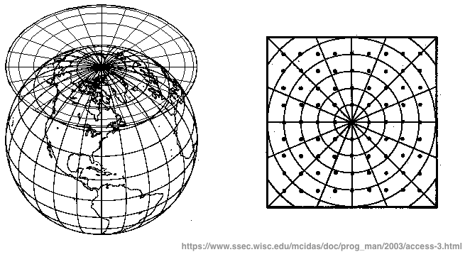
There are many sources of weather and climate data in a gridded format. I use gridded data to make my maps. Gridded data is two-dimensional data representing parameters of the atmosphere (or ocean) along an evenly spaced matrix. Weather forecasters will use this kind of data in a similar way to make graphics for a forecast – like what you see on TV. I often use gridded data from ECMWF (European Centre for Medium Range Weather Forecasts) and NCEP (National Centres for Environmental Prediction) which is part of NOAA (National Oceanic and Atmospheric Administration). I also often make use of Berkely Earth climate data and NASA GISTEMP. These are some of the most respected and well-known providers of weather and climate data. I urge anyone interested to become familiar with these sources. I code in Python to make my graphics.
I use the ERA5 reanalysis data. and this was implemented by ECMWF. Please see their data documentation page for a thorough explanation on how they derive their data.
I use this data for calculating long term averages, trends, normal for the time of year and monthly data. The data can be accessed for free and you can find out how to do it here.
From NOAA, I most often use GFS (Global Forecast System) products but sometimes use other models listed on their Operational Model Archive and Distribution System (NOMADS). This American data is free and anyone can download it.
I use this data to render a map or show short range forecasts.

Berkeley Earth is a fantastic source of climate data. Berkely Earth produces independent and non-governmental scientific data and analysis. Individual country climate trends, individual city trend and gridded data all available here. I often Use Berkely Earth data in country-level climate temperature trends. You can find the data created by Berkely Earth in their data section.

NASA GISTEMP is a popular climate monitoring database. My monthly graphs often feature this data. You can access NASA climate data in various formats (text files to gridded datasets). Please check it out here. NASA also have many frequently asked questions about this dataset, you can find this in their FAQ section.
In all of my work, please look for the data source (usually at the bottom of my graphics). Data verification is paramount.


